Copernicus Global Land Services
The Copernicus Global Land Service (CGLS) is a component of the Land Monitoring Core Service (LMCS) of Copernicus, the European flagship programme on earth observation.
Bio-geophysical products of global land surface
Copernicus is the European Union’s flagship programme for earth observation (EO), encompassing its own satellite fleet (Sentinels), contributing missions (like PROBA-V) and ground segments, in situ data collection, user uptake, data access (e.g. DIAS clouds) and a complement of six thematic core services.
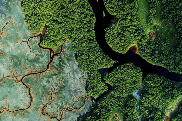
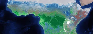
The Global component of the Copernicus Land Monitoring Core Service, or Copernicus Global Land Service (CGLS) in short, processes the satellite data to provide qualified added-value products and information on the changing land cover and for monitoring the vegetation, the energy budget, the water cycle and the cryosphere (snow and ice) across the global land surface.
CGLS supports EO experts in developing applications in a variety of domains such as:
- land management
- agriculture and food security
- biodiversity and nature conservation
- forest management
- integrated water resource management and hydrology
- health
- wind/solar energy
- meteorology
Given its global scope, CGLS is particularly well placed to support efforts such as the UN’s monitoring of the Sustainable Development Goals (SDGs), a worldwide atlas on desertification and land degradation or even the international cooperation in GMES&Africa. However, we know that the CGLS data can serve also local protected area managers, national governments, modellers for wind energy or hydroelectric installations installations, insurance companies and many more.
Within CGLS, VITO and its partners take care of the systematic production, archiving and distribution of products related to the cross-cutting land cover (using innovative cloud and Big Data techniques), as well as a complement of bio-geophysical parameters related to vegetation state and energy.
We are happy to share the data across the globe, to manage the web site and to answer any ad hoc questions from the thousands of CGLS users via our scientific helpdesk. VITO Remote Sensing is a member of the Copernicus Relay and Copernicus Academy network and therefore acts as contact for Flanders.