EXPLORE-VN: monitoring Vietnam's inland water quality
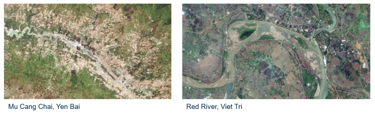
The Institute of Geography in Vietnam (IG) commissioned Nazka Mapps to customize EXPLORE, a platform that transforms raw satellite data into usable end products like water turbidity or chlorophyll-a content. The products will be offered to the user in an easy-to-use, cloud based environment. EXPLORE-VN will automatically collect and process new data for the whole territory of Vietnam every 5 days.
EXPLORE-VN is a cooperation between Nazka Mapps and VITO Remote Sensing. The EXPLORE-VN products are built on top of VITO Remote Sensing's innovative and validated image processing chain, Nazka is managing the operational flow in the cloud and is developing a customized interface.
Apart from the technological innovation, capacity building is also an integral part of the project. By means of extensive training sessions, Nazka and VITO Remote Sensing will try to maximize the knowledge transfer to our Vietnamese partner on remote sensing in general and Sentinel-2 products more specifically, but also on the end products, on field campaigns and platform architecture.
Lastly, EXPLORE-VN will be a modular tool and can be extended with new satellites and new data. The aim is to actively search for new applications, software features and insights. This could be the starting point of a long-term and fruitful partnership with the Institute of Geography (IG) in Vietnam.
EXPLORE-VN is purchased by the Vietnamese Institute of Geography (IG), with financial support of FINEXPO's SME instrument.
RELATED CASES & BLOG ITEMS
Water quality monitoring! From knowledge to operational services - Els Knaeps
Watermonitor - Water qualiy monitoring from space made easy - Ils Reusen