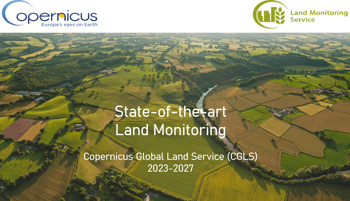
CGLOPS Lot-1 : Four more years to serve Copernicus
Consortium, led by VITO, continue to provide Global Land Service until 2027
The European Copernicus program provides reliable and up-to-date information on how our planet and its climate are changing to help decision makers, businesses and citizens to define environmental policies and take the right actions.
The Copernicus Global Land Service (CGLS) is a component of the Land Monitoring Core Service (LMCS) of Copernicus, the European flagship programme on Earth Observation. It has been operational since 2013, providing a series of bio-geophysical products describing the status and the evolution of vegetation, water cycle, energy budget and terrestrial cryosphere. The products are key information to monitor the land ecosystems at global scale.
With the recently signed contract with the Joint Research Center of the European Commission (JRC), the consortium CGLOPS Lot-1, led by VITO, will ensure the continuity of Copernicus Global Land Operations Service (CGLOPS) for the next four years, starting from September 2023. The service will generate and deliver multiple global land bio-geophysical products, identified as Essential Climate Variables, such as the Leaf Area Index, the Fraction of Absorbed Photosynthetically Active Radiation, the Burnt Areas, the soil moisture or the Land Surface Temperature, and some vegetation indices. Information can be integrated in applications providing support in areas such as agriculture and food security, land degradation and desertification, forest and water resources management, biodiversity, rural development.
With CGLOPS Lot-1 we can provide a state-of-the-art Land monitoring service for the next 4 years, introduce new products & evolution activities, and deliver key information for
decision makers, businesses and citizens.
Michal Moroz - Contract & Production Manager, VITO Remote Sensing
One of the new tasks will be the transition of production into the Copernicus Data Space Ecosystem cloud environment in order to continue ensuring a timely production, as well as a reprocessing of archives, to build consistent collection of global bio-geophysical variables derived from low and medium resolution satellite sensor data.
Another challenge will be to keep the methodologies at the state-of-the-art and to introduce new products into the portfolio.
All consortium partners and associates are ready to face exciting scientific and technical challenges to continue to serve the Copernicus Global Land service and to meet its users' needs.
Roselyne Lacaze, Scientific & Review Manager, HYGEOS
The team is mainly built upon the consortium operating the Copernicus Global Land Service ‘Vegetation & Energy’ in the previous years. It is composed of 4 partners from 4 European member states: VITO, Lead (Belgium), HYGEOS (France), Instituto Português do Mar e da Atmosfera (IPMA - Portugal) and Earth Observation Data Centre for Water Resources Monitoring GmbH (EODC - Austria), supported by 9 scientific expert teams from Spain, Austria, Sweden, Belgium and Denmark.
Consortium partners

Scientific associates