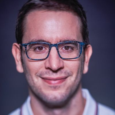
Daniele Zanaga
Senior R&D Professional
After obtaining his physics MSc at the University of Parma, Daniele moved to Belgium in 2014 to pursue a PhD in Physics at UAntwerpen. During those years, he worked on the characterization of nanomaterials, conducting experiments and developing algorithms for the analysis of images acquired at the electron microscope. In 2019, driven by his desire to connect more with nature, he joined VITO Remote Sensing where he uses his technical skills to monitor our planet’s health through the analysis of satellite images.
Through the lens of technology and remote sensing, we witness the rhythms of our planet’s heartbeat and its wonderful harmonies.
As part of the Vegetation team, he works on projects involving the classification of global land use and land cover, biodiversity, and vegetation changes such as WorldCover, the first global land cover maps at 10 meters resolution based on Sentinel-1 and Sentinel-2. His expertise includes big data analysis, AI, computer vision, and algorithms development.

