Dries Raymaekers
Senior R&D Professional
Dries holds a Master’s Degree in Agricultural Engineering (KU Leuven, Belgium) and Advanced Master’s Degree in GIS and Remote Sensing (KU Leuven and Purdue University, USA).
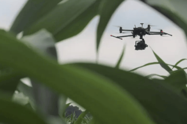
Taking images from a drone is one thing. Extracting information from them over and over again, that is our sweet spot.
He is passionate about drones and how they are revolutionizing industries in providing accurate and real-time data for better decision-making.
Thema's