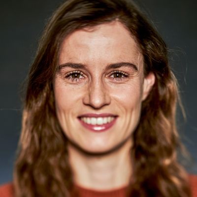
Lisa Landuyt
Remote Sensing Scientist
Lisa Landuyt is a distinguished remote sensing scientist working at VITO Remote Sensing since 2021. She obtained her Master of Bioscience Engineering with a focus on land and water management at Ghent University in June 2016. Next, she obtained a PhD at the same institute, during which she worked on algorithm development for flood mapping using Synthetic Aperture Radar (SAR) imagery. She gained additional experience as a freelance radar remote sensing scientist for Floodbase and SpaceSense.ai.
EO data holds immense potential to enhance our understanding and response to climate change.
Lisa is active on various water-related topics, addressing both quantity and quality issues. Her main focus is on utilizing machine learning and deep learning techniques to delineate floods and surface water, primarily through multispectral and SAR satellite imagery. Additionally, she contributes to VITO’s operational chain for chlorophyll-a and turbidity mapping. She is committed to translating EO data into actionable insights for enhanced flood response and sustainable, resilient water management.

