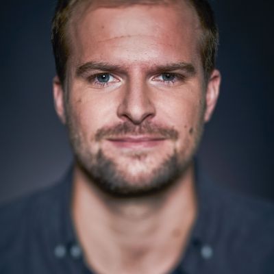
Ruben Van De Kerchove
Team Leader Vegetation
Ruben Van De Kerchove is an environmental scientist and team lead at VITO Remote Sensing in Belgium interested in the spatio-temporal analysis of ecosystems using remote sensing.
Keeping an eye on our planet is key to preserve its natural beauty!
Since joining VITO in 2014, Ruben has actively contributed to and led various projects, including the ESA WorldCover initiative, which produced the first 10-meter resolution global land cover map using Sentinel-1/2 data. His expertise lies in designing, developing, and implementing complex image processing chains for the thematic exploitation of optical and SAR remote sensing imagery and time series data. At present, he’s leading the vegetation applications team at VITO Remote Sensing which specializes in multi-source image processing, land cover classification and vegetation and biodiversity monitoring, ranging from local to global scales.

