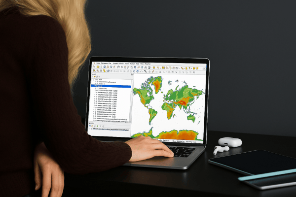
Turning data and satellite imagery into real-world security solutions
Situational awareness is key in the first moments following any dramatic event. With a quick deployment of the right imaging device and hands-on processing, we help governments and others take the right decisions – fast.
Know when to act, how to act
The first moments following a dramatic security event are vital. One of the first steps is to establish situational awareness. This needs to be done as quickly as possible. The swift deployment of appropriate imaging devices is particularly important. The images provided by these devices allow you to comprehend the situation without putting yourself, other responders or bystanders at risk. The images allow you to better classify and identify potential hazards, as well as identify potentially critical infrastructure, plan for the protection of responders and other people involved in the situation, and other aspects of your response.
Real-time security and situational awareness with geo-intelligence
When several devices are deployed, or when the area to be scanned is particularly large, identifying specific information is often very time-consuming. Due to the speed with which these situations evolve, delays are often unacceptable. But suppose an operator needs to search through video footage to identify and approximate the location of a victim. By the time the information has been confirmed, it may be out of date.
Preferably, Information should be available in close to if not actual real time. Security and situational awareness rely on this. Automated processing of images and data allows for rapid identification of potential victims, with precise coordinates – perfect for planning and implementing your response. With their extensive background in remote sensing and geo-intelligent processes, VITO Remote Sensing helps you to find and interpret relevant information to make decisions on which actions to take.
VITO Remote Sensing has been or is currently involved in a number of security projects. They include:
- FP6 - OSIRIS (France) – Near real-time situation awareness for SDIS 30 fire brigades. Manned aircraft EO systems were used.
- ESA – LUMEN (Norway) – Situation awareness for maritime security and flooding. Drones were used.
- FP7 - AIRBEAM (Belgium) – Near real-time detection of victims, city damage estimation and refugee-camp overviews.
- FP7 - AIRBEAM (GNR Portugal) – Rapid situation awareness and air contamination measurements for law enforcement forces.
- EADRCC NATO exercise – Situation awareness using small commercial drones and AI-based detection of victims.
- A bi-lateral project with the Belgian Ministry of Defense and several other tests for different stakeholders.
- VITO Remote Sensing is currently involved in the EDF SPIDER project and the ESA CSS Smart Connect project.