Turning data and satellite imagery into real-world environment solutions
At VITO Remote Sensing, we go beyond earth-observation data and satellite imagery to give you practical answers.
Remote sensing for environmental research on local and global scales
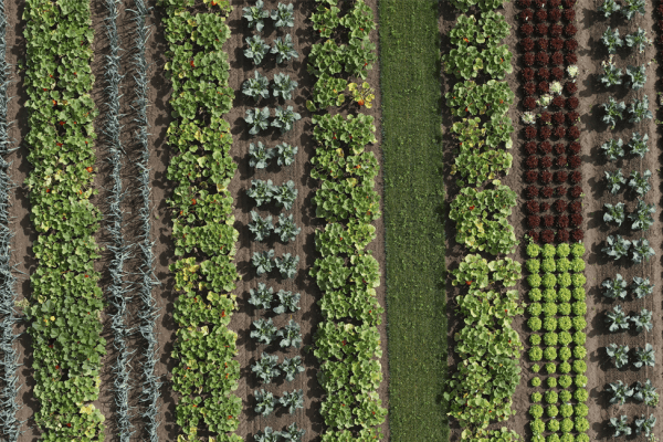
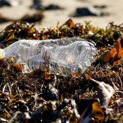
Innovative remote-sensing technologies help you monitor large areas in a fraction of the time. And for barely a hint of the costs involved when using field workers. Whether you’re examining the polar ice caps or tropical rain forests, VITO Remote Sensing takes a tailored approach to recording land use and land-cover developments. Performed in line with international standards, we adapt our processes to meet your specific research needs and objectives.
In recent years biodiversity came high on the political agenda. Based on a combination of various remote sensing sources ranging from airborne hyperspectral imagery to spaceborne low resolution multispectral time series, we help provide answers to the following questions:
- Where do we find the most valuable, i.e. biodiverse, habitats?
- Which plant species are present or in danger?
- Is the condition of our nature deteriorating?
- Where does a particular invasive species occur?
- What’s the effect of my land management practices on biodiversity?
Next to developing state-of-the-art methods, we focus on the practical implementation and automation of remote sensing processes. This enables you to serve the wider community and to meet reporting obligations.
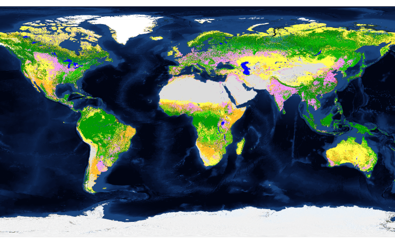
Copernicus Global Land Services
The Global component of the Copernicus Land Monitoring Core Service (CGLS) processes the satellite data to provide qualified added-value products and information on the changing land cover and for monitoring the vegetation, the energy budget, the water cycle and the cryosphere (snow and ice) across the global land surface.
Within CGLS, VITO Remote Sensing and its partners take care of the systematic production, archiving and distribution of products related to the cross-cutting land cover (using innovative cloud and Big Data techniques), as well as a complement of bio-geophysical parameters related to vegetation state and energy.
To truly understand our ecosystem
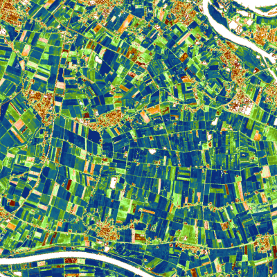
Land Use and Land Cover (LULC), as well as its changes (LUCC) is a core information layer for a variety of applications. VITO Remote Sensing can provide you the best land cover classifications at global scale, following the international standards wrt Land Cover Classification. By merging remote sensing imagery with other ancillary data sources, we offer a highly automated, accurate and cost effective LULC and LUCC solution.
The underlying bio-geophysical parameters are cornerstones to understanding ecosystem dynamics, managing natural resources as well as other tasks such as the assessment of carbon budgets. VITO Remote Sensing offers cross-disciplinary insights into plant physiology, remote sensing and modelling to heighten your understanding and assist you in advising and making decisions.
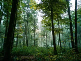
Sustainable forest management
Forest ecosystems deserve special attention in the context of biodiversity preservation and climate change. Forests cover around one-third of all land on Earth and breathe life into our world, and are crucial for people's lives, homes and livelihoods. Innovative remote sensing technologies help you monitor large forest areas in a fraction of the time needed by field workers. The result? Efficient assessment and management of forest resources such as wood, forage, water, recreation and timber management. VITO Remote Sensing combines LiDAR, hyperspectral imagery and high resolution time series to achieve more sustainable forest management.
Rely on our combination of LiDAR point clouds and various high-resolution optical sensors with operational processing workflows for targeted information on:
- Vegetation
- Forest Management
- Biodiversity
- Land cover and land use
- Natural Capital Accounting (NCA)