Turning data and satellite imagery into real-world climate solutions
How can geo intelligence benefit you in exploring the long-term impacts of climate change on our ecosystems? Turning data and satellite imagery into real-world climate answers.
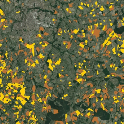
Remote sensing for climate research on local and global scale
Climate change is in essence the long-term change of average weather patterns. These gradual changes ask for adaptations in agriculture, land use, housing, energy consumption, … almost any aspect of our society is impacted by a change in climate. However, while gradual changes are challenging, the extremes that come with climate change are much more dramatic. If people talk about climate change we often refer to the extremes that come with it. Think of extreme heat, drought, floods, thunderstorms, …
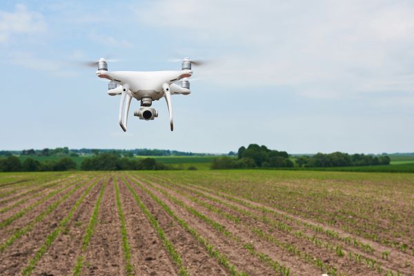
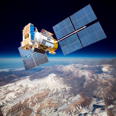
Remote sensing is the ultimate tool to monitor the impact of climate change, both the long-term impacts as well as the impact of extreme events. Global satellite observations facilitate daily global monitoring, while high resolution satellite sensors and even drones allow for detailed local monitoring.
Monitor the effects of climate change on our planet by …
- tracking changes in land & water temperature
- assessing precipitation patterns
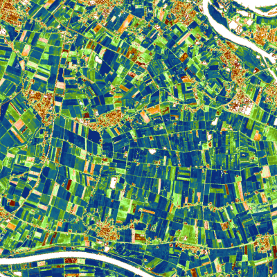
- evaluating land cover and land use changes
- observing vegetation health and productivity
- monitoring the agricultural area & production
We’re here to assist you in extracting meaningful insights , empowering you to better understand and address the complexities of climate change.
Long-term objective insights into Essential Climate Variables
Essential Climate Variables (ECVs) are physical, chemical, or biological factors that play a critical role in characterizing the earth's climate, and are recognized as key indicators of global climate change by the Global Climate Observing System (GCOS). In addition to objectivity, it's important to gather data over a longer period of time to truly understand how climate change affects our planet. Multiple decades, even. Through processing and analyzing extensive time series of remote sensing data, we are able to provide you with these long-term objective insights.