Turning data and satellite imagery into real-world water solutions
At VITO Remote Sensing, we move beyond earth observation data and satellite imagery to give you practical answers for water quality and coastal monitoring.
Water quality assessment and coastal monitoring made easy and accessible
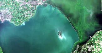
Water is essential for human well-being, human health and ecosystem functioning. Agricultural activities, climate change, urban development and pollution, have severe impacts and degrade water quality. Understanding the state of water quality and evaluate impacts of these pressures is essential to safeguard the water quality. VITO Remote Sensing offers tailored options to bring you the benefits of systematic, synoptic remote sensing and satellite imaging. The use of satellites and drones overcomes accessibility issues and makes it easy to track evolutions. In next to no time, you’re able to recognize trends and identify areas at risks.
Water quality monitoring and analysis
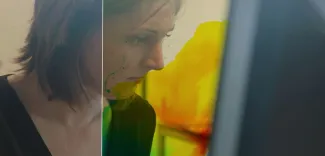
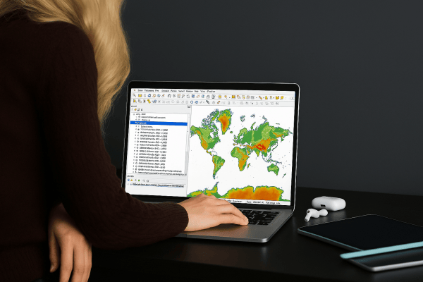
With extensive experience in in-water optics, image processing and atmospheric correction, VITO Remote Sensing is perfectly placed to assist you in your water-quality monitoring, analysis and management tasks. Gathering images is only part of what you can expect from us. We also use artificial intelligence and spectral image processing to analyse your images and deliver reliable data and insights. What does this mean? You save an extraordinary amount of time. You have minimal impact on the environments or conditions you’re analysing. You build a library of georeferenced historical and recent images that yield superior, reliable and accurate measurements. And you can do it all from the comfort of your office.
Built to your water quality monitoring and analysis needs
The VITO Remote Sensing Water and Coast team specialises in transforming raw data into tangible, actionable information. This builds on more than just our experience with ocean optics, atmospheric correction, spectral image processing and artificial intelligence. It also relies on our long-term expertise with operational tools and platforms, and the R&D we perform to keep these tools at the highest quality standards. When you work with us, you’ll have access to corrected quantitative values that represent values for any specific water column. What do we cover?
- Turbidity
- Suspended Particulate Matter (SPM) concentrations
- The origin, direction and extent of sediment plumes from natural and anthropogenic origin
- Chlorophyll-a concentrations and the extent of algae blooms
- The occurrence and extent of oil spills
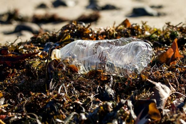
- Floating macrolitter fluxes in rivers
- Macrolitter hotspots and densities
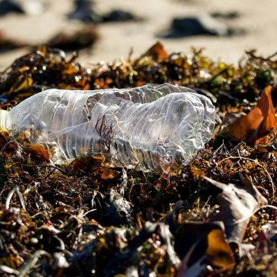
Monitoring macrolitter in rivers and on riverbanks
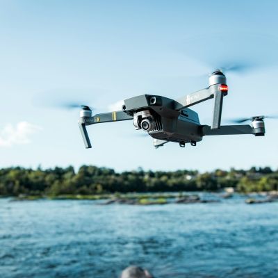
Expect us to go above and beyond to make sure you have what your need for your project. Our approach combines spectral approaches and artificial intelligence to detect and characterize the marine plastic macro litter from drones, fixed cameras and satellite observations. These observations can provide standardized means to follow up regulations or they can be linked to clean-up activities. The models were designed to ensure the highest-quality data. Exactly what the client needed. It all began when they started looking for the answer to a simple question: What do you want to know?