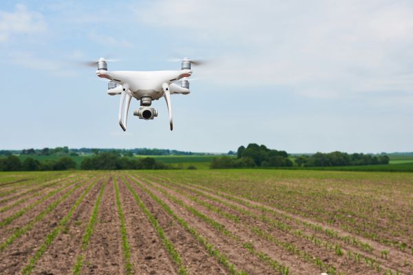
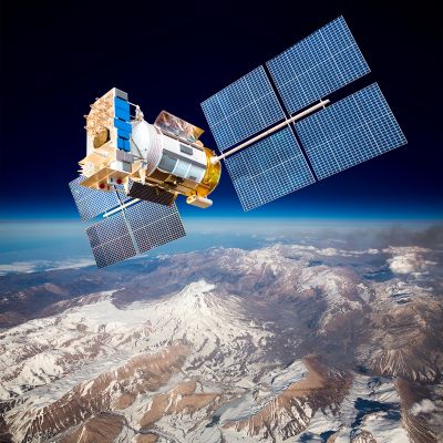
Open-source satellite imagery
Terrascope is the Belgian collaborative ground segment launched in 2017 to provide easy access to open-source satellite data of the European Commission’s Copernicus programme.
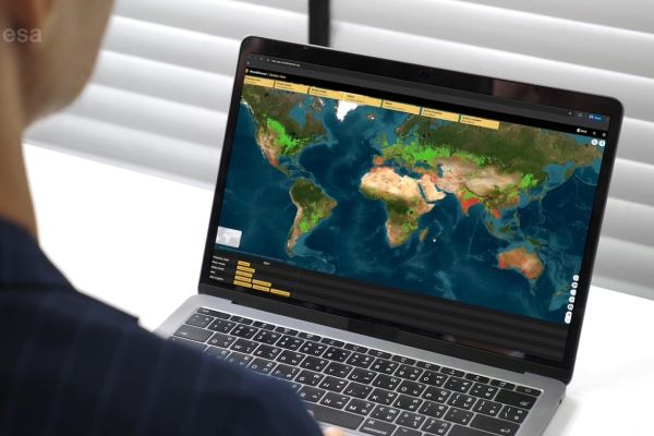
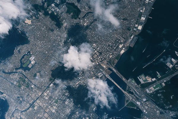
Terrascope provides a wealth of earth observation from the Copernicus Sentinel constellation and the unique data sets from the SPOT-Vegetation and PROBA-V missions hereby safeguarding long-term time-series of global vegetation change. Via the Terrascope viewer, everyone can easily search and use satellite images and derived products. Terrascope eliminates the necessity to download satellite data by provided a range of cloud processing services to analyse the data and retrieve the information you need.
Open and free access until at least 2028
Terrascope is accessible free of charge to all users including citizens, researchers, governments, public authorities and industry. Terrascope is funded by the Belgian Science Policy Office (BELSPO) and operated by VITO Remote Sensing. Thanks to a new agreement between BELSPO and VITO (signed January 2024) Terrascope guarantees continuous access to satellite data, derived products, and related image processing services to all Belgian users until at least 2028.