Turning data and satellite imagery into real-world infrastructure solutions
Improved planning and development for urban and infrastructure
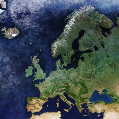
Digital twins and remote sensing for urban, rural and maritime development
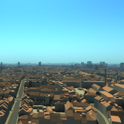
The sustainable development of urban, rural and maritime infrastructure requires you to look at how every square metre is being used and managed. At the same time, you need to understand exactly how all these aspects interact with each other. What tools do you have to help you with this enormous task? Digital twins – ecosystems of digital platforms governed and maintained by multiple stakeholders – enable you to model your plans to generate the data and insights you need to assess their viability.
A collaborative approach
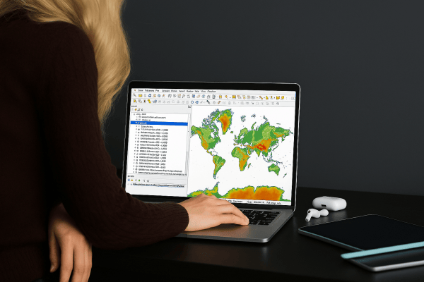
By providing both local and global data, remote sensing is essential when creating a digital twin ecosystem. Experts in geomatics, VITO Remote Sensing provides multiple digital nodes in local and global digital twin ecosystems. Leveraging existing spatiotemporal databases, processing and hosting services grants you even further insight and understanding. This collaborative innovation allows you to benefit from digital interactions with other stakeholders.
Urban, rural and maritime monitoring with remote sensing and geomatic technology
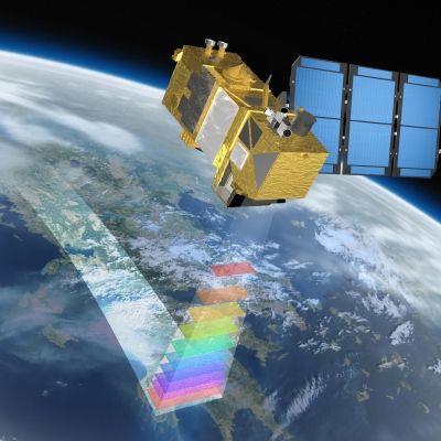
It is also important to think about infrastructure after it has been built. Maintenance tasks keep the areas, societies and communities we live in safe, while ensuring that the economic activities powering them continue to run smoothly. Remote sensing is ideal for performing the recurring and otherwise time-consuming inspections that form the backbone of maintenance. Accessibility is far easier and more convenient using everything from drones and cars to boats, planes and even satellite platforms, often eliminating the need for personal inspection. You’re furnished with incredibly detailed information, including 360° images and 3D models. And as it’s captured using anything from RGB photography or video cameras, multispectral or hyperspectral scanners, LiDAR, sonar and SAR scanners, it’s possible to automatically detect changes or, for example, the presence of asbestos sheeting in existing constructions. You don’t even have to leave the office to do it!