
geo intelligence for real-world agriculture answers


geo intelligence for real-world climate answers


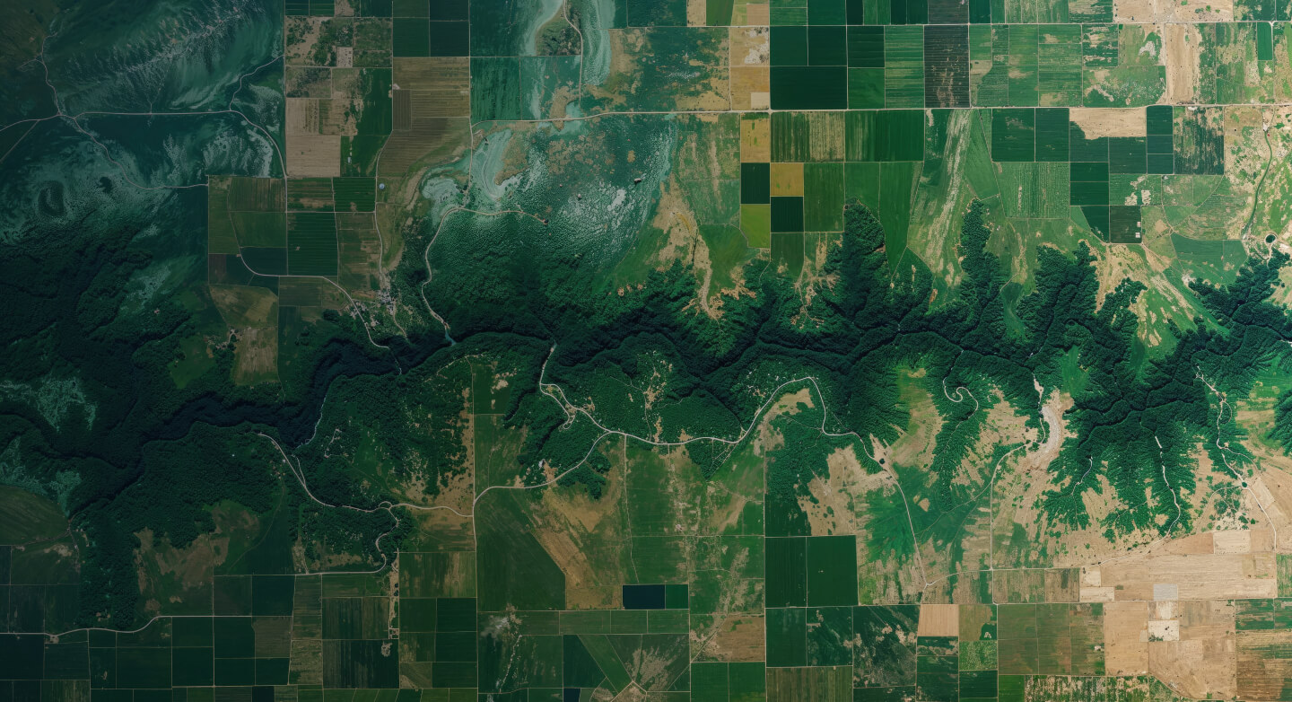
geo intelligence for real-world environment answers


geo intelligence for real-world security answers


geo intelligence for real-world infrastructure answers


geo intelligence for real-world water answers
What you see,
is not what you get.
At VITO Remote sensing, we move beyond data and satellite imagery, turning earth observation data into practical answers.
Based on the real world.
Made for the real world.
is not what you get.
At VITO Remote sensing, we move beyond data and satellite imagery, turning earth observation data into practical answers.
Based on the real world.
Made for the real world.
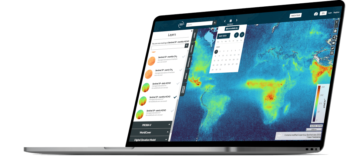
See the big picture with valuable insights
What you get, is more than you see! At VITO Remote Sensing, we move beyond data and satellite imagery, turning earth observation data into practical answers. With massive amounts of data, high-tech instruments and powerful end-to-end services, our experts provide the knowledge that moves you forward. Based on your real-world questions. Built to provide you real-world answers.
- Support agriculture to increase production while simultaneously reducing environmental impact
- Exploring the long-term impacts of climate change on our ecosystems
- Environmental monitoring on local and global scales
- Improved planning and development for urban and infrastructure
- Practical answers for water quality and coastal monitoring
- Situational awareness is key in the first moments following any dramatic event. We help governments and others take the right decisions on security – fast.
Recent news and updates


Our knowledge in full spectrum


Upcoming events
Stay tuned for a series of engaging webinars, conferences, and workshops designed to provide valuable knowledge and networking opportunities for professionals in the remote sensing community.


A reliable partner
in a global network
VITO Remote Sensing doesn’t only observe the world, it’s also very much a part of it. From China to Africa, our sizeable team serves an expansive network of customers and partners
Part of VITO, an independent
research and technology leader
research and technology leader

Image processing services for
public & industry projects
public & industry projects

active in more than
115 countries
115 countries

more than 110 national &
international partners
international partners

a team of 120
employees and counting
employees and counting

8 petabyte of data
Member of

Member of
