Capitan Taki
Remote Sensing to monitor water quality in Lake Tanganyika and Lake Kivu.
Water Management in East African lakes
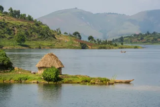
With more than 18% of the world's available freshwater, the Tanganyika and Kivu Lake Basins are of global importance and sources of socio-economic well-being, serving over 12 million people. Nonetheless, the lakes are experiencing water quality deterioration due to climate change, poor land-use, and urbanisation, while overfishing and the impact of invasive plant species are exerting high pressure on the aquatic food systems. Furthermore, the effect of climate change is exacerbated by the unique and complex morphologies of the lakes, and the complex fluctuations of winds, the influence of which on the lakes is not yet fully known.
The Capitan Taki project aims for both lakes to
- create a community,
- collect and create available information, studies and data on environmental and climate issues,
- organize capacity building on climate adaptive measures,
- share the collected (incl. satellite-based) information, knowledge and materials on a demo platform, as a first stage for further implementation of environmental monitoring systems,
- prepare a roadmap based on building blocks for the environmental monitoring system.
Webinar Series
We organised a Webinar Series on In-situ and Remote Sensing Surface Water Quality Monitoring. This high-level series (in English & French) explore advanced techniques for water quality monitoring, providing valuable insights into both data analysis and remote sensing technologies. The series covers general concepts on database structures, data analysis, and the principles of remote sensing within the water domain. It also demonstrates how in-situ and remote sensing methods can complement and strengthen each other. Examples focus on Lake Tanganyika and the LATAWAMA dataset.
|
Day |
Time |
Focus |
|
27/2 |
2 PM CET |
Data Analysis of the LATAMAWA water quality samples |
|
|
3 PM CET |
Analyse des données des échantillons de qualité de l'eau LATAMAWA |
|
6/3 |
2 PM CET |
Remote Sensing principles and introduction |
|
|
3 PM CET |
Principes de télédétection et introduction |
|
13/3 |
2 PM CET |
Remote Sensing Water Quality Monitoring |
|
|
3 PM CET |
Surveillance de la qualité de l'eau par télédétection |
|
20/3 |
2 PM CET |
Remote Sensing Water Quality - Lake Tanganyika |
|
|
3 PM CET |
Qualité de l'eau par télédétection - Lac Tanganyika |
Thu 27/2 - Data Analysis of the LATAMAWA water quality samples
This first webinar elaborates on how the water quality data of the Latawama database were analyzed within the Capitan Taki project. Building a database starts with the collection of data. An overview of different methods to collect water quality data will be given, with a particular focus on the methodology applied during Latawama. Analyzing a database requires several preparatory steps. In data science this is called data preparation, and it includes actions related to data tidiness, duplicates, unique ID, homogeneity, data types and missing values. A number of these actions applied on the Latawama database will be addressed during the webinar. After preparing and cleaning up the database, the next step is the Exploratory Data Analysis (EDA). EDA focuses on data visualization and is a powerful tool to explore data, formulate hypothesis, and assess characteristics. An overview of several basic and more complex data visualizations of the Latawama water quality data will be given during the webinar. These visualizations explore the database, but also enable us to formulate hypotheses on the functioning of Lake Tanganyika.
Thu 6/3 - Remote Sensing principles and introduction
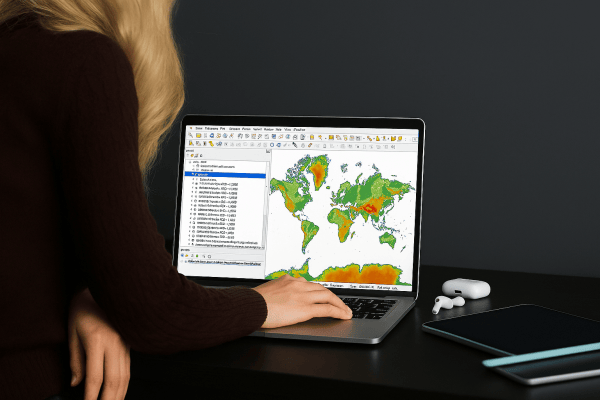
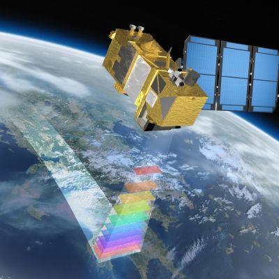
The 'Remote Sensing Principles and Introduction' webinar offers an overview of remote sensing technology, including its key concepts, techniques, and applications. Participants will learn how remote sensing captures data about the Earth's surface using satellite and aerial sensors, analyzing electromagnetic radiation to monitor environmental changes, land use, climate, and more. The session will cover different types of sensors (active and passive) and key processing methods. This webinar is ideal for beginners looking to understand the basics of how remote sensing supports decision-making for environmental monitoring in fields like water-quality or agriculture.
Thu 13/3 - Remote Sensing Water Quality Monitoring
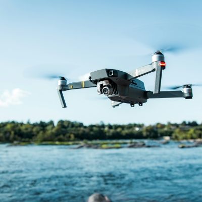
The 'Remote Sensing General Water Quality' webinar provides an introduction to using remote sensing technologies for monitoring and assessing water quality in various aquatic environments. Attendees will learn about the key principles behind detecting water quality parameters, such as turbidity and chlorophyll levels through satellite and drone imagery. The session will explore different sensor types, data processing techniques, and case studies demonstrating how remote sensing is applied in managing water resources.
Thu 20/3 - Remote Sensing Water Quality Lake Tanganyika
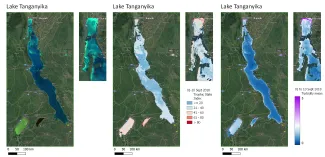
The "Remote Sensing Water Quality: Lake Tanganyika" webinar focuses on the application of remote sensing techniques to monitor and assess water quality in Lake Tanganyika, one of Africa's largest and most biodiverse freshwater lakes. The session will explore both the opportunities and challenges of monitoring the lake, emphasizing the critical role of in situ reference data for validation and quality assessment to ensure accurate and reliable remote sensing results.
Partners & funding
Capitan Taki is a quadruple helix capacity building project (March 2024-September 2025) funded by the Flemish government through the Flanders International Climate Action Programme. It builds on and complements Enabel's (Belgian Development Agency) work of the Latawama project (2019-2023) funded by EU (European Union) DG INTPA on water quality management of lake Tanganyika.
It brings together key actors from the Lake Tanganyika Authority (LTA) and ABAKIR with experts from Flanders, Burundi, Rwanda, Zambia, Tanzania and Democratic Republic of Congo to take concrete steps towards climate-resilient transboundary water management via training, capacity building in the use of remote sensing tools and co-creation of roadmaps.
The Capitan Taki project is funded by the Flemish government.

Capitan Taki partners


