MONOCLE Call for Proposals - Drone Demonstration Cases
Objective of the call
As expert in the development of tools for monitoring water quality, VITO Remote Sensing is looking for partners (industry, environmental & government agencies and research organisations) for new demonstration cases.
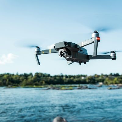
Today we open this very accessible, short-term call for proposals for drone demonstration cases of Water Quality Applications. Successful applicants will receive a one-day drone campaign over their area of interest, with resultant maps of water-leaving reflectance, turbidity, suspended sediments and/or chlorophyll-a. We work within the framework of MONOCLE. Technical information on the processing is available on the MAPEO water case page.
To apply, please complete the short application form that you can download below.
Scientific context
MONOCLE is a Horizon 2020 research and innovation project which focusses on the development of essential research and technology to lower the cost of acquisition, maintenance, and regular deployment of in situ sensors. The MONOCLE sensor system provides a closer interaction between operational satellite-based Earth Observation (EO) and essential environmental monitoring in inland and transitional water bodies. These aquatic ecosystems, which are particularly vulnerable to direct human impacts, represent areas of the weakest performance in current EO capability, despite the major technological advances in recent decades. At the same time, these areas are of great economic importance and are crucial to sustainable food, energy, and clean water supply.
Who can apply?
Any member or employee working in the industry, in an environmental or government agency, or research organization, established in the EU, UK, Norway and Switzerland can apply for this call.
What will be provided?
Selected proposals will be granted a one-day drone campaign to collect data over a water body or coastal zone. The collected data will be processed to water-leaving reflectance, turbidity, floating sediments or chlorophyll-a concentration data sets as desired.
The applicant agrees that the drone data will become publicly available in the MONOCLE database and that these materials may be used for dissemination activities.
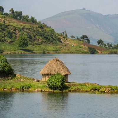
The area of interest can be located over inland or transitional water bodies anywhere in Europe. We particularly encourage applications that highlight the added value of high resolution drone observations.
Our equipment will include imaging sensors and multispectral sensors as needed, and will be operated by our team alongside any locally organized activities.
The area of interest must not include restricted zones such as airports, military zones or densely populated areas. Each location will be evaluated in accordance with local regulations. To check the suitability of your area a useful starting point is https://www.dji.com/be/flysafe/geo-map although our team will carry out additional checks.
The area of interest must be possible to cover during a one-day campaign. The area that can be imaged is approximately 5 ha.
Practical information
Opening of the call: 06.09.2021
End submission: 01.10.2021
Outcome info to applicant: 15.10.2021
Flight Campaign planned: as agreed with applicant and before May 2022
Procedure
You are kindly asked to fill in the application form that you can download below and to send it to MONOCLE@vito.be before the end of submission date (01.10.2021). Applications sent after this date will not be evaluated for this call but could be considered for future activities.
We will contact the selected submissions immediately after evaluating all proposals. All applicants will be informed of the outcome of the selection by October 15th.
All applications will be kept confidential to the MONOCLE project consortium. The information you submit may be used to contact you at a later date to discuss further deployment opportunities, should these arise.
Motivation & assessment criteria
The board will evaluate al proposals received in time. They will score the applicants based on:
- Completeness of the brief application form
- Expected added value for science and/or industry
- Motivation & professional background of the applicant
- Stakeholder engagement/interest
We're looking forward to receiving your submissions!


