ARTEMISIA
Advancing Greenhouse Gas Monitoring in African Lakes with Earth Observation
ARTEMISIA is a four-year research project (December 2025 - April 2030) funded under the Belgian STEREO IV programme of Belspo.
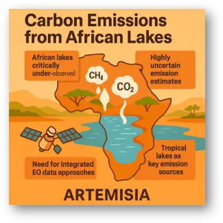
The project tackles one of the largest remaining uncertainties in the global carbon cycle: greenhouse gas emissions from African lakes.
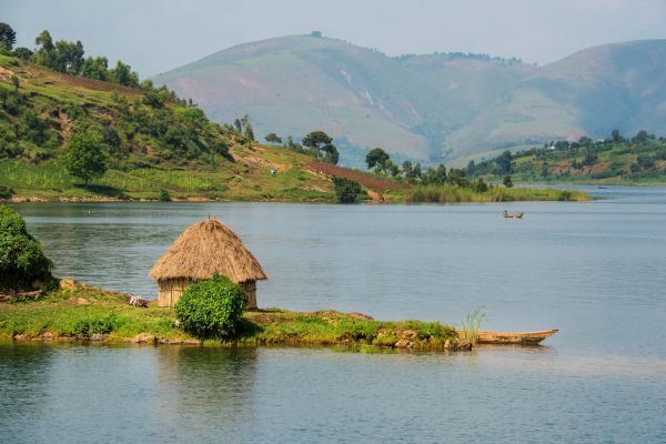
African lakes make up two-thirds of the world's tropical lake surface, yet their CO2 and CH4 emissions remain poorly quantified due to limited field measurements and the high optical complexity of inland waters.
ARTEMISIA brings together an international consortium - VITO, ULiège, VUB, MRAC/KMMA, the University of Tartu, and TAFIRI - to change that.
General objective
The overall objective of the ARTEMISIA project is to improve our knowledge about the spatio-temporal variability of greenhouse gas (CO2 and CH4) emissions for African lakes.
Specific objectives
- To enhance the retrieval of EO-derived water quality products for Chl-a, CDOM and TSM for tropical African lakes (>0.1 km²)
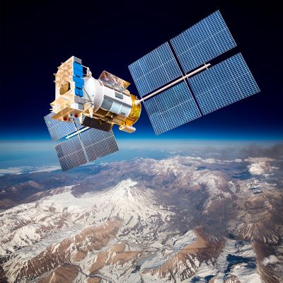
- To prepare for the use of new satellite missions for improved water quality and greenhouse gas monitoring
- To estimate CO2 and CH4 emissions at local and African scale based on modelling using EO data as input data
- To understand the drivers of water quality and CO2 and CH4 emissions at local scale
- To understand the key drivers of CO2 and CH4 emissions at the African level
A new EO-based framework for lake GHG emissions
ARTEMISIA will develop a satellite‑based framework to estimate CO₂ and CH₄ emissions from African lakes larger than 0.1 km². The project combines:
- Advanced atmospheric correction and improved water‑quality retrievals (Chl‑a, CDOM, TSM) tailored to African inland waters
- Machine‑learning models predicting dissolved CO₂ and CH₄ from EO data and lake morphology
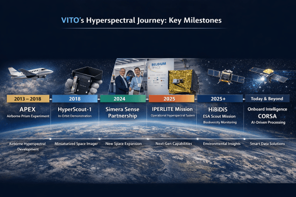
- Integration of new hyperspectral missions (EnMAP, PRISMA, PACE, CHIME)
- High‑resolution case studies on Lake Tanganyika and Lake Victoria, including flux tower validation and geomorphic driver analysis
These innovations will enable spatially explicit, monthly and annual GHG emission estimates for African lakes.
Supporting climate reporting and environmental management
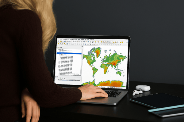
The project’s outputs—open datasets, geospatial layers, and a web interface—are designed to support National Inventory Reports (NIRs) under the UNFCCC, as well as regional water and climate management. ARTEMISIA will also shed light on the environmental drivers of emissions, from land‑use change to sediment transport and ecosystem disturbances.
About the consortium
It's a consortium with complementary expertise in developing remote sensing applications for monitoring inland water quality (VITO, University of Tartu), the use of remote sensing for the analysis of key drivers (VUB, Royal Museum for Central Africa), greenhouse gas emission modelling (Université de Liège), water quality modelling (VUB), in situ measurements (Université de Liège, University of Tartu, VITO, VUB and TAFIRI) and the operationalisation of remote sensing workflows (VITO).

Work Packages
WP |
Task |
|---|---|
| 1 | Reference in situ data |
| 2 | Improved EO atmospheric correction and water quality products from existing satellites, and preparation for the integration of new satellite missions |
| 3 | Estimation of CO2 and CH4 emissions from African lakes based on modelling using EO as input data |
| 4 | Deciphering drivers behind spatio-temporal variability of tropical lake water quality and CO2 and CH4 at local scale |
| 5 | Drivers for water quality and CO2 and CH4 emissions - African scale |
| 6 | Validation |
| 7 | Coordination, valorisation and dissemination |